Bourke's Lookout via Scar Track on Mount Dandenong, Melbourne

I read from somewhere that Bourke’s Lookout offers the best panoramic view of the Melbourne City. I was disappointed once but not the 2nd time. The photos are the proof.
April 2, 2023, pre-dawn trail run.
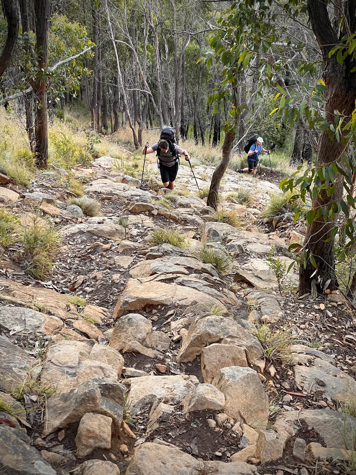
Mt Dandenong has tons of walking tracks. There are multiple ways to get up to Bourke’s Lookout. I took the challenge. I took the most direct and probably the steepest route: Scar’s Track. It’s a 3km short and moderately hard track. The track was steep with loose rocks. I started at about 4:15am. Excluding the time taken to take photos, it took me about 1 hour to go up and 30 mins to come back down. Since the track was steep, there was actually not much running…
Alltrails map: here.
I had actually visited Bourke’s Outlook 2 weeks ago via Zig-Zag Track. But that day was really foggy. The promised panoramic view of the Melbourne city was nowhere to be seen. So I decided to come back again but via a different route. Since I knew I wanted to take panoramic photos blending the twilight with the artificial lights from the city, I knew I needed long exposures. I brought my tripod that I don’t usually carry for my trail runs.

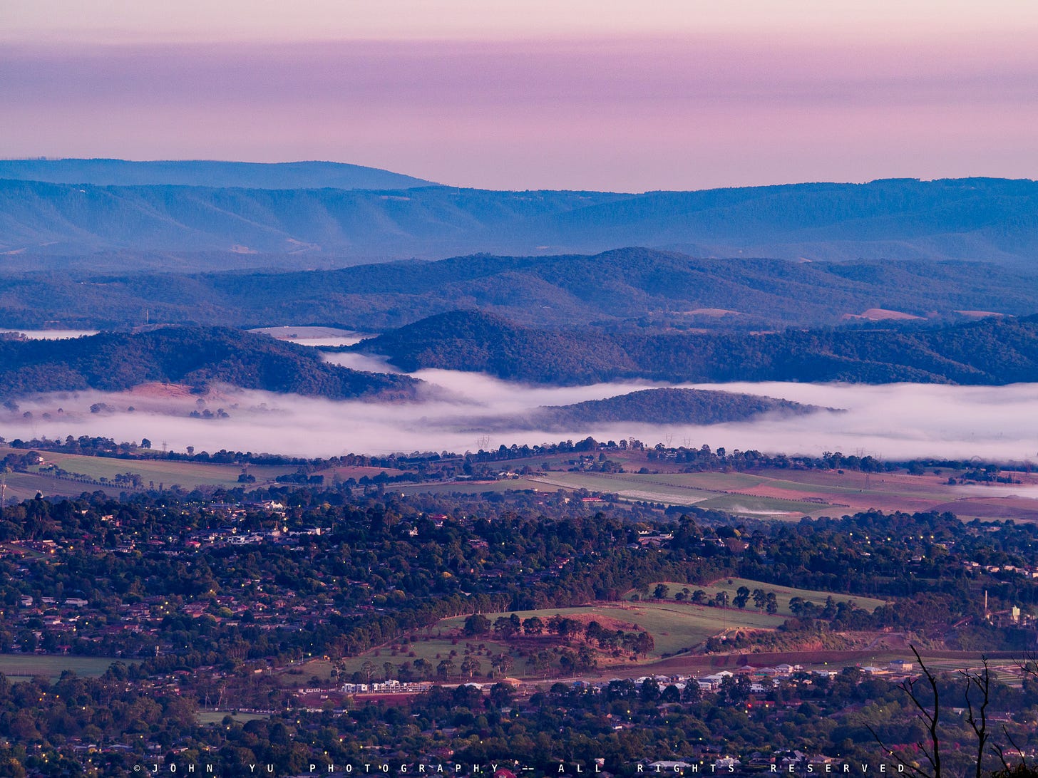
The above photo is the close-up shot of the right end of the panoramic shot at the top. The layers of mountain ranges are intrigued. A friend of mine told me the closest at the front should be Christmas Hills.

The above photo was taken a bit later before I headed back home. I was attracted by the interesting cloud formation lit by the twilight. The spot at the bottom left with the cluster of high-rises is Glen Waverley. It’s quite amazing that The Glen shopping centre is recognisable.

On my way back, other people gradually showed up climbing the track.


